

The science (and reasons) behind watershed based ag drainage permits
As the 10th Annual International Drainage Symposium approaches, Moore Engineering is excited to play a part in the discussions and presentations regarding recent drainage research and implementation around the world. It’s a good chance to brush up on proper management of drainage, because we all know responsible drainage provides many economic and social benefits.
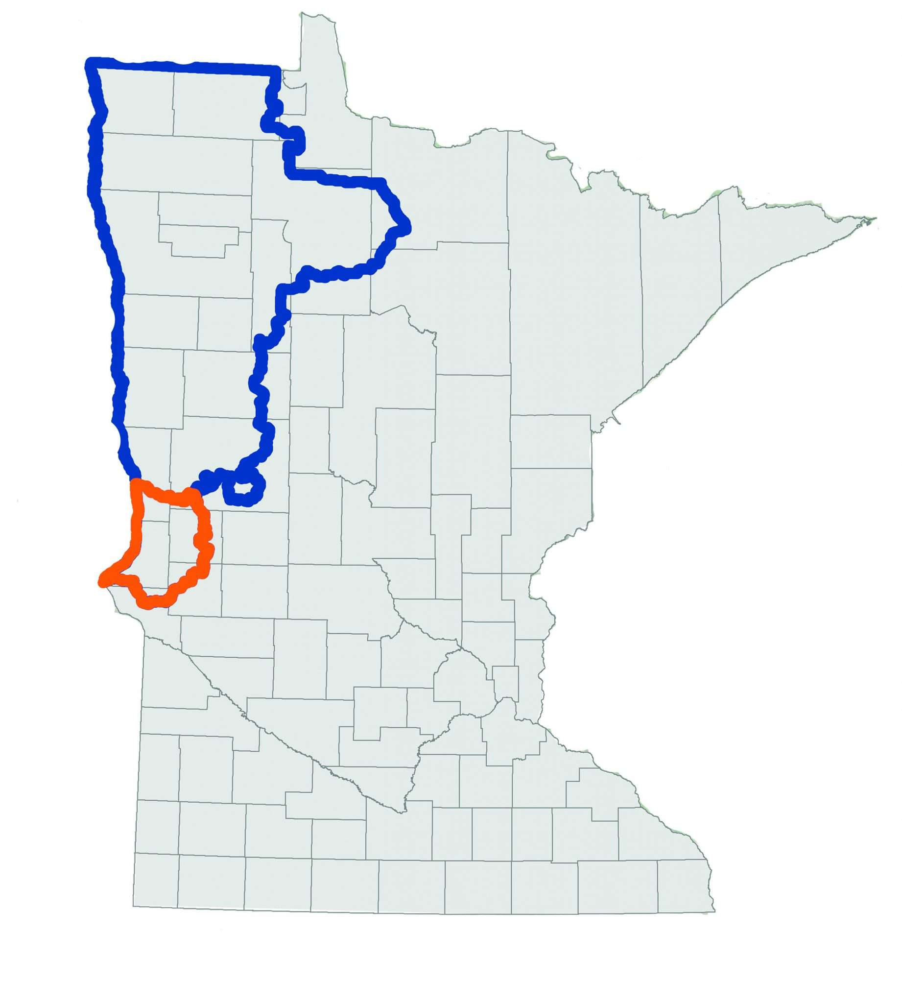
This year, Moore will once again discuss agricultural production from an international perspective. The Red River Basin, located primarily in northwest Minnesota and eastern North Dakota, is home to one of the most productive agricultural regions in the world. For over 50 years, Moore Engineering has been proud to be a partner in the success of the Red River Basin’s water management.
For example, Moore is the engineer for the Bois de Sioux Watershed District (BdSWD), located in west central Minnesota. The area’s economy is driven by agriculture, in addition to being home to the headwaters of the Red River.

In a region like this, proper drainage is a top priority.
The BdSWD understands the key role it plays in creating the conditions that allow the regional economy to thrive. So, it has developed watershed based permits and policies that encourage responsible drainage controls, proper culvert sizing and communication between landowners. This permitting process also allows for the tracking of drainage improvements throughout the watershed in a GIS-based environment.
This permitting process is administered for private surface and subsurface drainage installations to ensure all projects are consistent with watershed goals and planning. The process has been well received, with over 200 permits issued annually over the past five years.

Landowners are required to provide information pertaining to the area to be drained, design discharge, drainage coefficient, pipe diameter, slope, outlet elevation, highest elevation and control elevation of gates or pumps in permit applications. They then submit a permit application to the district administrator. Once a permit application is received, the permit is digitized into a GIS format using ESRI ArcMap. The permit is then reviewed by the district’s engineer, attorney, administrator, and board member of that specific region.
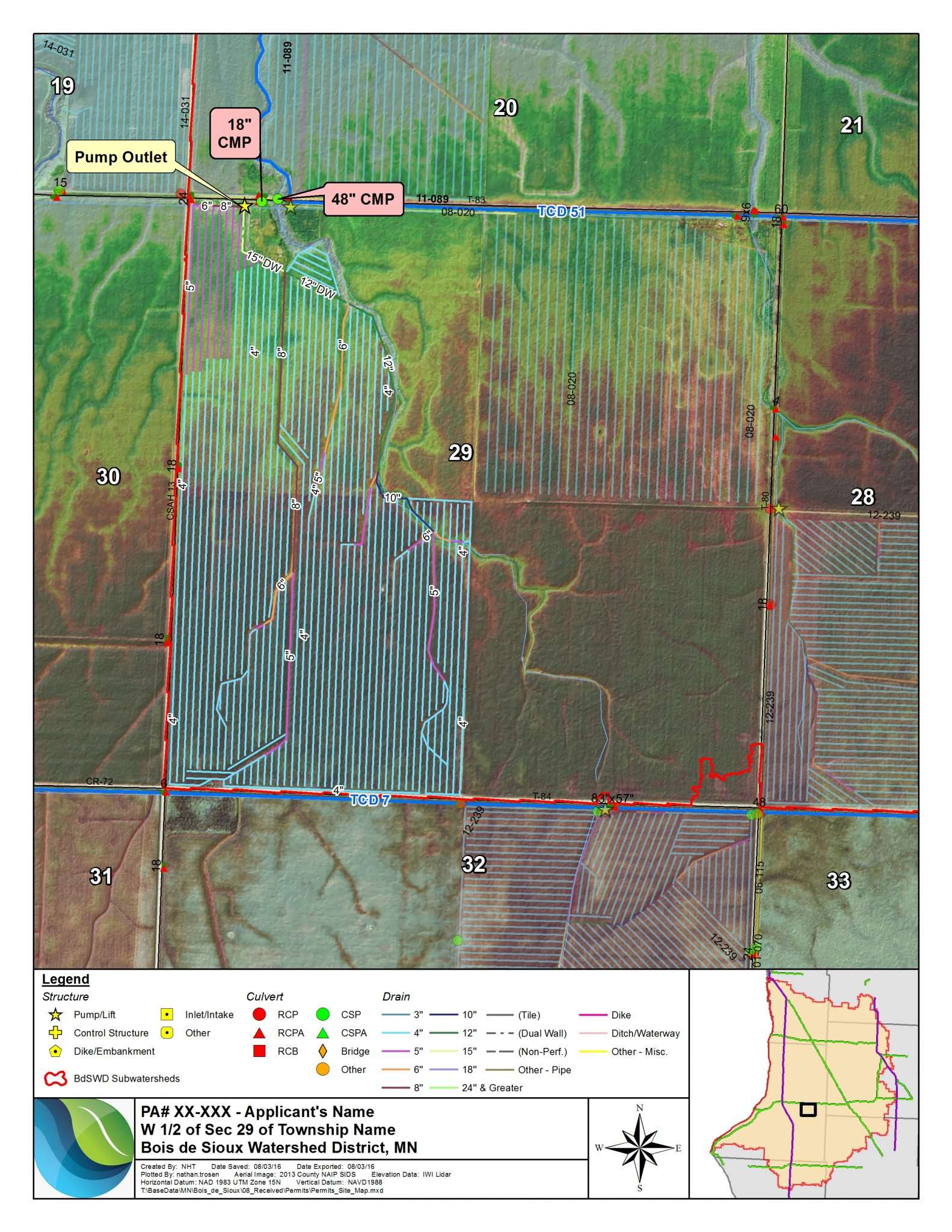
The review is conducted to assess conformity to the BdSWD policies for private agricultural drainage. The policies generally provide for a watershed scale review of permit applications, rather than a review of localized impacts. In addition, the permit system allows for geospatial tracking of all private drainage projects including specific design features, elevations, footprints, and other relevant data. Permit reviews of drain tile primarily focus on the outlet of tile systems. Tile installation must have a gated control at the outlet or have a drainage coefficient of 1/4 inch or less.
The BdSWD permitting process allows for watershed planning and management for public health and the environment. For more details on the permitting process, or for ideas on what your watershed district can do to improve, come see me during the poster sessions at the symposium at The Commons Hotel in Minneapolis next week, or send me an email.