
Red River Valley, Minnesota – Five-Year Monitoring Program
SERVICES PROVIDED
Water Quality Monitoring
Agency Coordination
Vegetation Monitoring
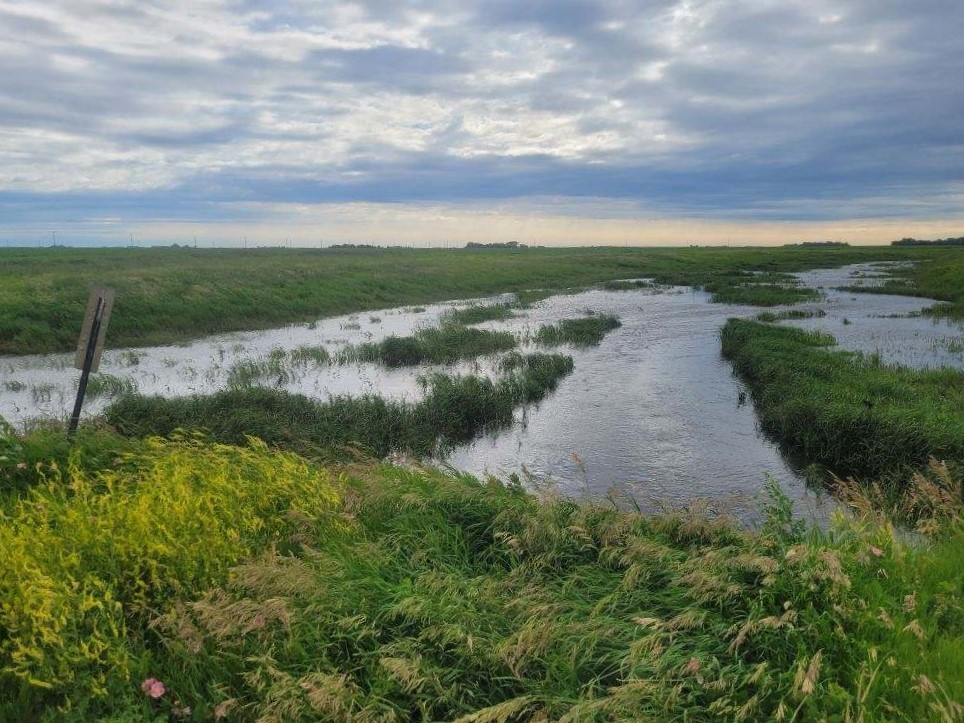
CHALLENGE
The Red River Watershed Management Board’s (RRWMB) Flood Damage Reduction Working Group (FDRWG) was seeking a partner to conduct an extensive assessment to monitor water quality, habitat, and vegetation. The project aims to evaluate the effectiveness of past improvement efforts, identify areas where reinvestment or adjustments might enhance existing projects, and improve the planning, design, and operation of future projects across the Red River Basin. Over the next five years, assessments will be conducted at nine sites. With multiple stakeholders, including various government agencies, and a scope that spans several counties and watersheds, the project requires consistent coordination, communication, and updates to ensure all partners stay informed of developments and results.
SOLUTION
Moore’s diverse team of water quality, wetland, and botanical scientists developed monitoring plans and schedules to collect data to meet each site’s unique needs and project goals over the five-year monitoring period. Moore reviewed previously collected stream flow, water quality, habitat, and vegetation data as well as historic aerials and LiDAR to develop monitoring plans. This effort was coordinated with stakeholders from each partner to ensure that site specific goals were met throughout the Red River Basin. Monitoring schedules and routes were developed to maximize data collection efficiency. Moore setup file sharing and data management systems to ensure collected data is consistently uploaded to all appropriate state and federal databases and stakeholders have regular access to project updates, reports, and information.
OUTCOME
The Five-Year Monitoring Program kicked off with biweekly water quality data collection beginning in April 2024. Other project elements such as wetland and vegetation assessments for multiple sites were completed in July 2024. Project reports, updates, and feedback are continuously provided to stakeholders. As the 2024 monitoring season ends, the Moore team will shift to preparing the annual report summarizing the data collected during the 2024 monitoring season and begin preparations for year two of the Five Year Monitoring Program.