
Fargo, ND & Moorhead, MN – Flood Control Projects
Challenge:
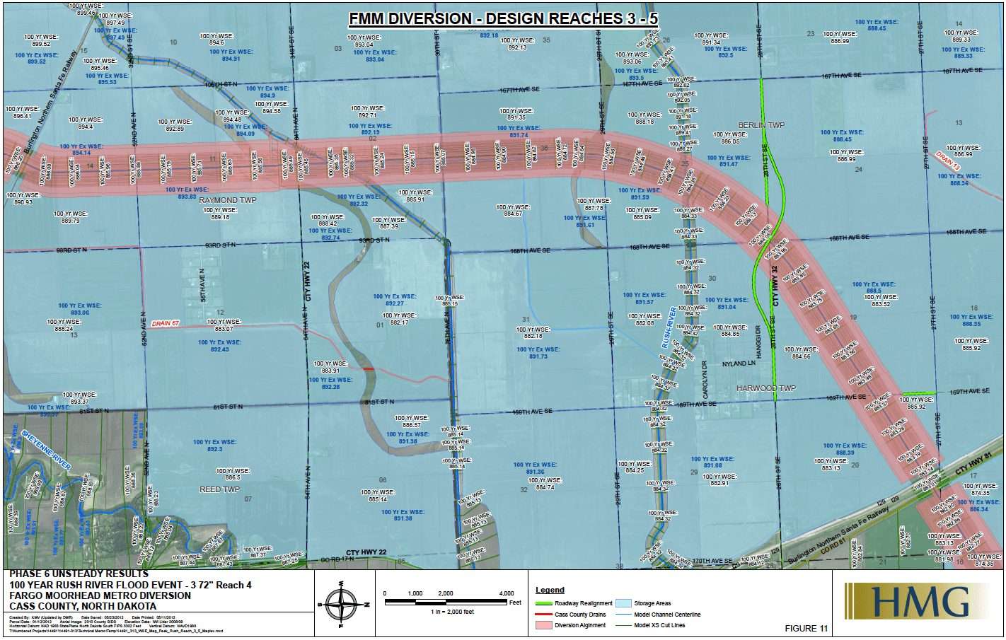
Flooding is an ongoing and complex challenge in the Valley. In 2008, Fargo, Moorhead and the Corps of Engineers undertook a study to establish flood risk management measures, document findings, and make recommendations about a federal flood mitigation project in the metro area. They needed sophisticated mapping to help them make decisions.
Solution:
Moore Engineering created GIS maps capable of managing vast quantities of data to produce a clear, concise visualization of the proposed system layout and features. The maps featured multiple layers of information, which could be turned on or off so viewers could see only the information they wanted at the moment, or the bigger picture. In cases where there was no method to transfer large data sets, Moore developed computer programs to collect that data into the GIS system.
Outcome:
Te managed more than 90 GB of data to produce hundreds of report graphics depicted in multiple layers and used by many agencies and media sources.