
Infrastructure Week: Tracking Infrastructure with GIS
As part of Infrastructure Week, we’re focusing on an emerging element of infrastructure management – tracking infrastructure with GIS.
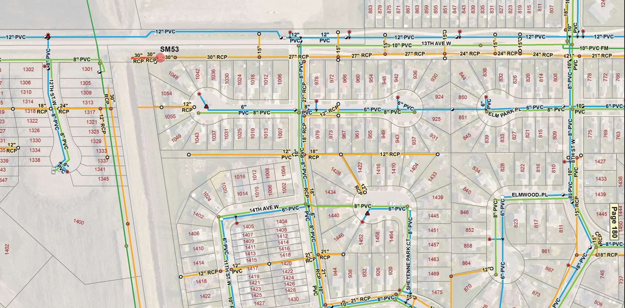
GIS (Geographic Information Systems) mapping software helps Moore Engineering serve our clients with a variety of infrastructure management projects, from assessment district analyses to topographic, facility and flood mapping. GIS mapping has become highly effective for cities, helping them save time and money, make better informed decisions, keep better records and remain proactive. Here’s how:
Save time and money
You can use GIS to improve your city’s maintenance schedules and daily fleet movements. In fact, according to Esri, an international leader in GIS software, implementing GIS typically saves 10 to 30 percent in operational costs. That’s because it helps decrease fuel use and staff time, improves customer service and promotes efficient scheduling.
Making better, informed decisions
GIS mapping systems can help you make better-informed decisions on anything related to location. For example, it can help with choosing real estate sites, developing evacuation or ambulance routes, estate planning or even mapping wetlands. Every choice you make has impacts.

GIS can help you make the best possible decisions for your city. And, because GIS lives in the digital realm, it is highly effective for cross-office and cross-organizational communication.
The technology, for example, can communicate the location of a city maintenance worker addressing a citizen complaint, allowing the city to better coordinate its utility response team. Plus, with mobile GIS technology, we can take GIS mapping systems into the field to log and send real-time data.
Keep better records
One of GIS’s most useful capabilities is tracking records and maintenance reports. For example, GIS reporting can help you identify which streets repeatedly need repair. In some cases, it may be more efficient to completely replace a street rather than investing in frequent maintenance. It can also help you manage construction permits to ensure you maintain compliance with city, state and federal regulations.
Moves you to be proactive
GIS mapping helps us understand not only what is happening, but also what will happen, in a geographic space. For example, you can use GIS to map pipe-corrosion patterns, allowing you to predict risks and meet DIMP requirements. The technology lets you view patterns and trends to predict the future and, more importantly, prepare for it.
So, what is your city doing to track and improve infrastructure? We’d love to hear from you and talk about what we can do to improve your city’s infrastructure management through effective tracking.