What is GIS?

Why GIS Is Important?
Visualizing GIS for Impact

Real-World GIS In Action
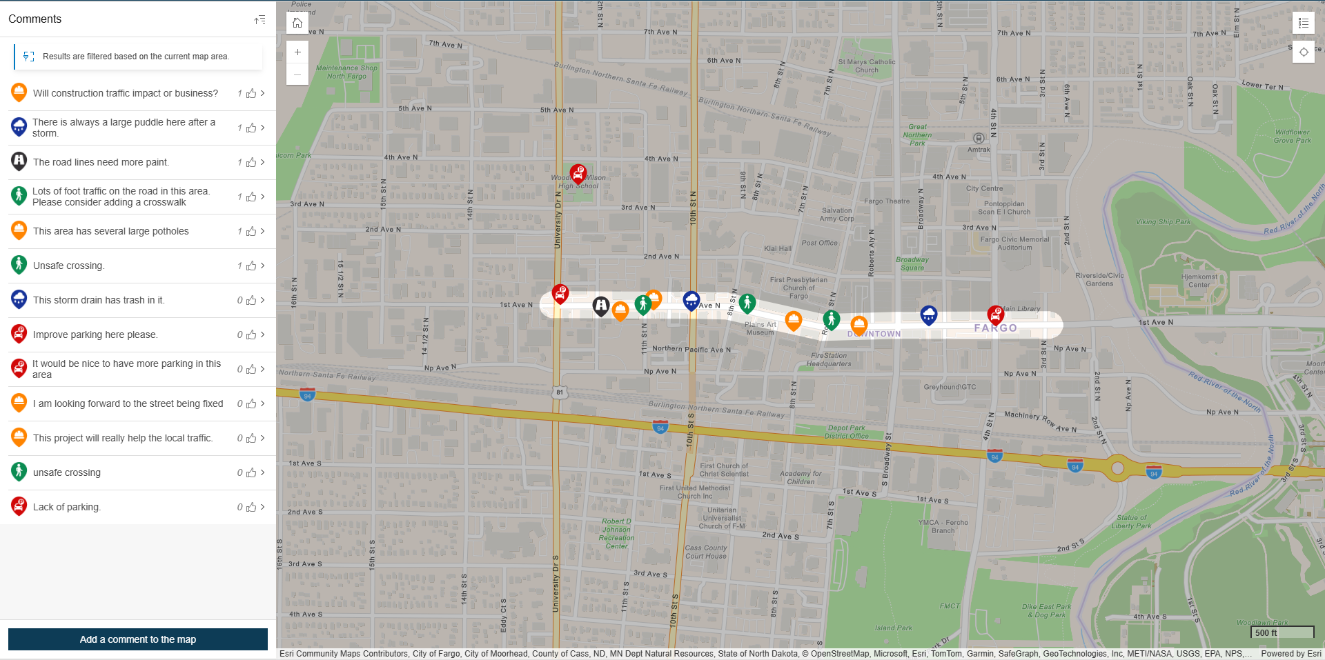
Moore Engage GIS WEb Application
MooreEngage helps project teams collect high-impact feedback with geographic precision.

How Our Partners Use GIS
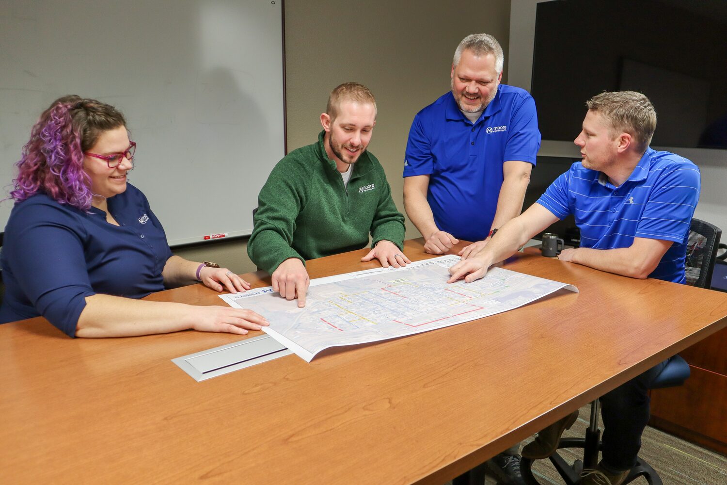
City Planning, Infrastructure & Transportation
Cities use GIS to manage utilities, parks, and public facilities with precision. Interactive maps help track capital projects and optimize traffic flow, while visual tools support public presentations and real-time updates during construction or emergencies.
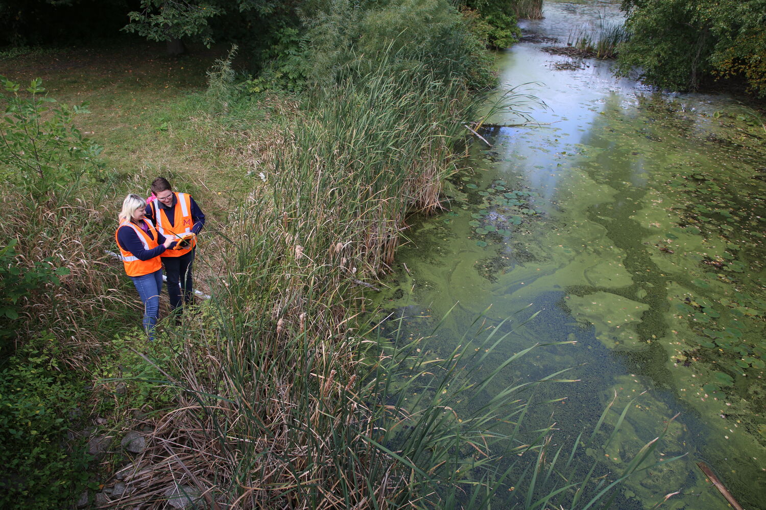
Water & Environmental Management
GIS supports environmental monitoring by tracking stormwater ponds, wetlands, and runoff. It helps model floodplains to reduce risk, analyze water quality trends, and ensure compliance with MS4 and Clean Water Act regulations.

Community Engagement
Mobile-friendly maps keep residents informed with project updates, emergency alerts, and service changes. Interactive tools invite public feedback and allow communities to explore local projects, building transparency and trust.
Why Use GIS
Our partners across Minnesota, North Dakota, Colorado, and beyond use GIS to:

What We Offer as a GIS Team

GIS Solutions and Development
We provide GIS training, development, and automation using Python, JavaScript, and R, along with web-based applications, mobile data collection, Survey123, IoT, GPS, drone integration, and CAD/GIS online capabilities.

Data Analysis and Visualization
We specialize in data analysis, spatial data management, and geospatial modeling, using tools like PostgreSQL, SQL Server, and ArcGIS to create visually compelling maps, 3D visualizations, and environmental models for urban planning, hydrology, and land use optimization.

Remote Sensing, Imagery, and Lidar
We utilize remote sensing, satellite imagery, UAV data, and LiDAR analysis to create detailed surface models, track environmental changes, and integrate real-time data from IoT devices, GPS, and drones.

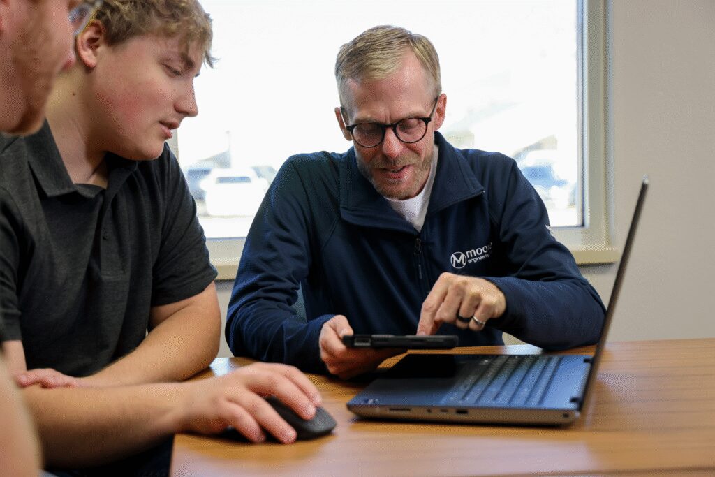
Collaboration, Training, and Support
We collaborate with engineers, scientists, and clients to manage GIS components of large-scale projects, provide training and support, and ensure seamless integration through user-focused cartography, UI/UX design, and troubleshooting.
Why Choose Moore for GIS?
What sets us apart

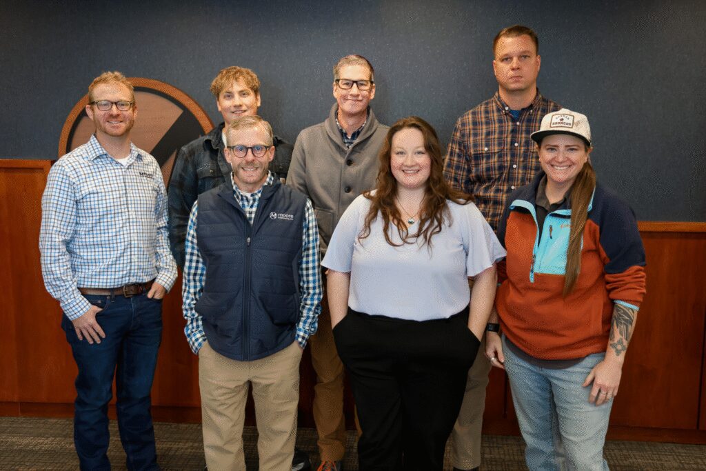
Our Team